
The Complete List of UK Towns
and Cities
- Contains all 49,277 UK cities, towns, villages and suburbs
- Includes linked counties, postcodes, latitude-longitude, local government area and more
- Data in Excel, CSV and SQL formats
- Fully updated for Summer 2026
- Ready to download and use immediately
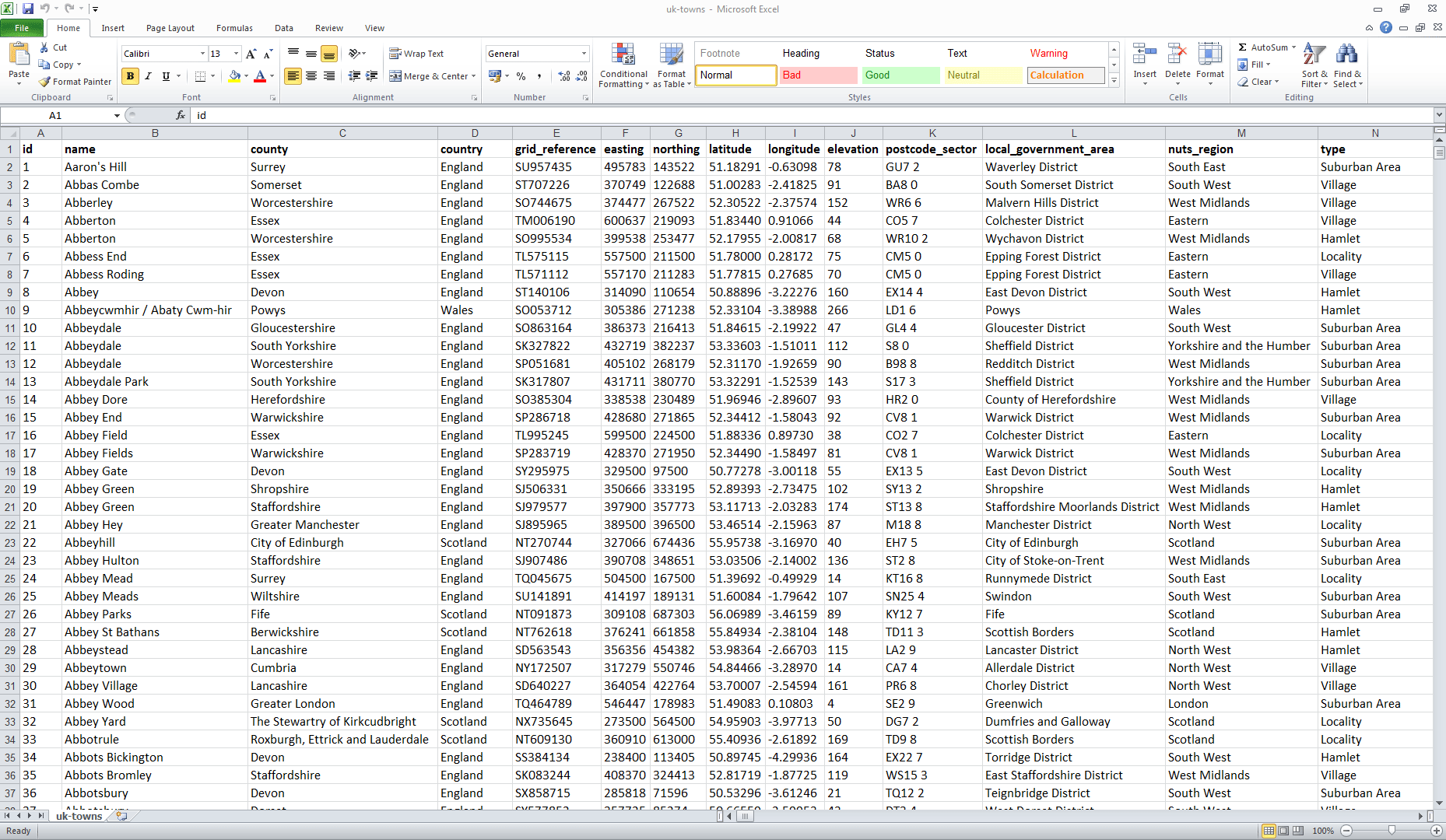
Included in the database
- – Location name
- – County
- – Country
- – Grid reference
- – Easting and Northing
- – Latitude and Longitude
- – Elevation
- – Postcode sector
- – Local government area
- – NUTS region
- – Type (city, town, village etc.)
Compatible with…
Key information
- Number of locations: 49,277
- Last updated: 13th July, 2026
- Update frequency: Quarterly
- Coverage: England, Scotland, Wales, Northern Ireland and Isle of Man
- Data formats: CSV, SQL and Excel
- Data size: 8.6MB (zipped)
- Language and Encoding: en-GB, UTF-8
- Supply: Direct online download
Comprehensive, accurate and reliable
Our database brings together the latest information from Ordnance Survey, the Greater London Authority, the Office for National Statistics, and the Northern Ireland Statistics and Research Agency.
It contains all 49,277 cities, towns, villages, hamlets and suburban areas in the UK, along with their linked counties, countries, regions, postcodes, local government areas, NUTS regions, grid references, eastings and northings, latitudes and longitudes, and elevations.
Unlike many other databases, it fully covers Northern Ireland and the Isle of Man and includes individual suburban areas in Greater London.
Fully updated for Summer 2026
We do a complete update of the database four times per year (at the start of every January, April, July and October), and put the data through regression testing and quality assurance checks before each release. The last complete refresh was on the .
Ready to use
The data is clean, well-organised and consistently formatted, and is compatible out-of-the-box with all spreadsheet applications – including Excel and Open Office – and most SQL databases, GIS systems and programming languages. That means you can get to work quickly with the software of your choice, without worrying about fiddly file conversions or formatting changes.
Commercial use permitted
You are free to use the data permanently for business and commercial purposes. There are no limits on the number of users or devices, no ongoing fees or royalty payments, and no time restrictions. Please see the terms of use for full information.
Take it for a trial run!
It's free to try the data! You can download a sample pack to test out on your own computer or lookup a specific location using our live online search.
Used by 1000’s of businesses and individuals across the United Kingdom
The database is a great fit for:
- Location search and mapping functionality
- Auto-fill and auto-complete boxes
- Website localization
- Marketing and advertising campaigns
- Data verification and quality assurance checks
“I needed very accurate city, region and area information to enable users to choose from lists of their preferred location. I tried to do my own thing, but ultimately because of the accuracy you provide it was money well spent and great value.”
— Paul Rowley, HS2
“I was building a software demonstration and needed a list of towns and cities in the UK with their eastings and northings. I needed something cost effective, and your solution ticked all those criteria.”
— Tristan Colgate, Fidenda
“I left my computer importing your UK data, came back later and it had worked perfectly first time. Well happy and a testament to the quality of your data.”
— Paul Marquick, Majenka
Our customers include…


Questions and Answers
General
- When was the data last updated?
- Does it include all places in the UK?
- How will I receive the data?
- Who else uses your data?
- Can I get a different sample?
Data updates
- Are future updates included?
- When will I receive updates?
- Can I change the email address my updates are sent to?
Purchasing and Billing
- How do I buy the data?
- I'm not from the UK. Can I pay with different currency?
- Are my card details secure?
- Do you provide a charity discount?
- Can I pay offline by purchase order or bank transfer?
Licensing
- Can I use the data commercially?
- Can I use the data in software or websites?
- Can I use the data for academic research work?
- What restrictions on use are there?
Technical
When was the data last updated?
The last data update was on the 13th July, 2026.
Does it include all places in the UK?
Yes. The data contains all cities, towns, villages, hamlets and suburban areas in the United Kingdom, as recognised by Ordnance Survey. It covers England, Scotland, Wales and Northern Ireland in full, and for convenience also includes towns and villages in the Isle of Man. Historical settlements are not included.
How will I receive the data?
Immediately after buying the data you'll be given a unique download link, which you can use to download a zip file containing the full database to your computer.
We'll also send you an email containing a receipt for your purchase and a copy of the download link. If you choose to pay by credit/debit card, this email will be sent to the address you provide during checkout. If you choose to pay with PayPal, the email will be sent to the primary address associated with your PayPal account.
Who else uses your data?
Our data has been downloaded and used by thousands of customers since we launched 15 years ago, from major national companies (like Accenture, Lloyds Banking and Hays Recruitment), through to boutique web development, design and marketing agencies across the UK.
Can I get a different sample?
Yes. If our sample data doesn't give you the assurances you need, please feel free to contact us for a custom sample extract.
Are future updates included?
If you purchase the 'Subscription' package, then data updates are included for a period of 1 year after your purchase. At the end of this period, you can choose to renew your subscription (and continue receiving updates) or not.
If you purchase the 'Solo' package, then data updates are not included.
When will I receive updates?
Updates are performed four times per year at the start of January, April, July and October. After each update we’ll send you an email containing a download link for the new data.
Can I change the email address my updates are sent to?
Yes, that’s no problem. Simply send us a message to let us know your new email address, and we'll update our records.
How do I buy the data?
You can purchase the data online with credit card, debit card or PayPal by clicking here and then selecting the package that you want (either the 'Subscription' package with updates included, or the 'Solo' package without updates).
I'm not from the UK. Can I pay with different currency?
We accept payment by credit card, debit card or PayPal from almost anywhere in the world – including the United States, Canada, Australia and all EU countries. The appropriate amount in your local currency will be billed to your card or PayPal account based on the current interbank exchange rates.
Are my card details secure?
Yes. All credit and debit card payments are processed securely by Stripe, one of the world's largest and most trusted online payment services. Payments take place over a secure, encrypted connection and we do not permanently store or record your card details.
Do you provide a charity discount?
Yes. If you’re buying on behalf of a registered charity or non-profit organisation, please contact us and we will be pleased to give you a 25% discount.
Can I pay offline by purchase order or bank transfer?
If you can’t pay online by credit card or PayPal, we are happy to accept payment via purchase orders, UK bank transfers, or international bank transfers via Wise. Please message us to discuss your requirements and we will arrange the next steps with you.
Can I use the data commercially?
Yes. The data can be used for commercial and business purposes, on an ongoing basis, with no time limits, renewal fees, or limits on the number of users or devices. Please see the terms of use page for the full terms.
Can I use the data in software or websites?
Yes. Using the data in a software application or website (e.g. for location searches) is permitted, provided that you do not make the data available for users to download in bulk.
Can I use the data for academic research work?
Yes. Using the data for academic research is permitted.
What restrictions on use are there?
It is not permitted to publicly distribute the data (for example, by sharing links to it on the internet), or to directly resell the data as a standalone product. Please see the terms of use page for the full terms.
What character-encoding does the data use?
All files use UTF-8 for character encoding.
What is the SQL code for creating a table for the data?
The following code can be used to create a table for the data in all ANSI-compliant SQL databases:
CREATE TABLE uk_towns (
  id int NOT NULL,
  name varchar(56),
  county varchar(32),
  country varchar(16),
  grid_reference varchar(8),
  easting int,
  northing int,
  latitude numeric(8, 5),
  longitude numeric(8, 5),
  elevation int,
  postcode_sector varchar(6),
  local_government_area varchar(44),
  nuts_region varchar(24),
  type varchar(13),
  PRIMARY KEY (id)
)
Is the Welsh version of place names included?
When a place is also known by an official Welsh or Gaelic name, this is provided after the English language name in the data. For example Cardiff / Caerdydd and Wrexham / Wrecsam. The English language name is always given first, followed by a forward slash character and then the Welsh or Gaelic name.
How large is the data?
The data is contained in an 8.6MB zip file, which contains the data in CSV, Excel and SQL format. When decompressed, the file sizes are:
| Format | File name | File size |
|---|---|---|
| CSV | uk-towns.csv | 6.2MB |
| Excel | uk-towns.xlsx | 4.5MB |
| SQL | uk-towns.sql | 7.1MB |